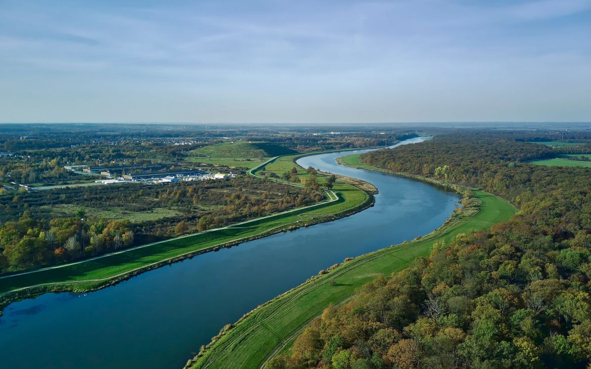
Multidimensional data analysis for the management of river ecosystems through multiscale automatic tools (MultiGIS4Rivers) is a groundbreaking endeavour that combines multidimensional and multiscale data with artificial intelligence tools and geospatial analysis to revolutionise water resource management methods. Its effectiveness will be evaluated in diverse water ecosystems around the world, including regions in Brazil, Poland, the Czech Republic and Spain, each facing different challenges such as flooding, fragmentation, pollution and land abandonment.
The initiative harnesses recent advances in remote sensing, artificial intelligence, data science and environmental modelling to develop a comprehensive, predictive and adaptive platform for water resource management. The project employs deep learning models for data acquisition, in-situ monitoring systems for detailed scale information gathering, and AI-based geostatistical analysis for decision support.
By integrating state-of-the-art computing techniques tailored for spatio-temporal data processing, machine learning and deep learning algorithms, MultiGIS4Rivers aims to uncover the key drivers of freshwater ecosystem degradation. The project’s innovative approach and methods can be replicated in other regions of the world facing similar challenges, extending its applicability beyond water resource management to various fields of interest. The platform to be developed will serve as a versatile tool for managing datasets, executing modelling methods and exploring both raw data and predictive model results.
The CHIST-ERA project is funded by the National Science Centre grant no. 2024/06/Y/HS4/00134 and led by Piotr Matczak and Weronika Warachowska.

